



High Solutions represents a qualitative leap in the world of engineering surveying, in line with the Kingdom’s ambitious Vision 2030!
These devices rely on advanced technologies such as mobile mapping systems, 3D laser scanning, LiDAR, and ground-penetrating radar to provide:

3X Faster than Traditional Systems
Complete tasks in less time with higher accuracy.

2X Higher Measurement Accuracy
Compared to previous-generation devices.

90% Fewer Field Errors
Thanks to real-time analysis.

100% Digital Integration
With design and project management systems.
High Solution gives you maximum technical control over every data point on your site, to reduce risks and save on operating costs.
High Solution's Latest Solution
From the Leading Major Brands


Discover the Latest Generation of Smarter Surveying Solutions
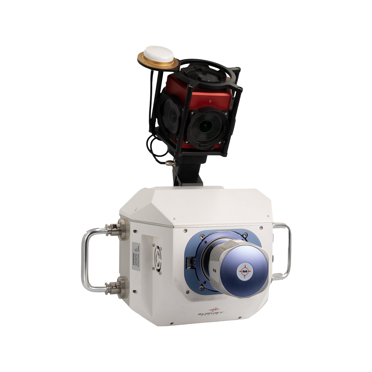
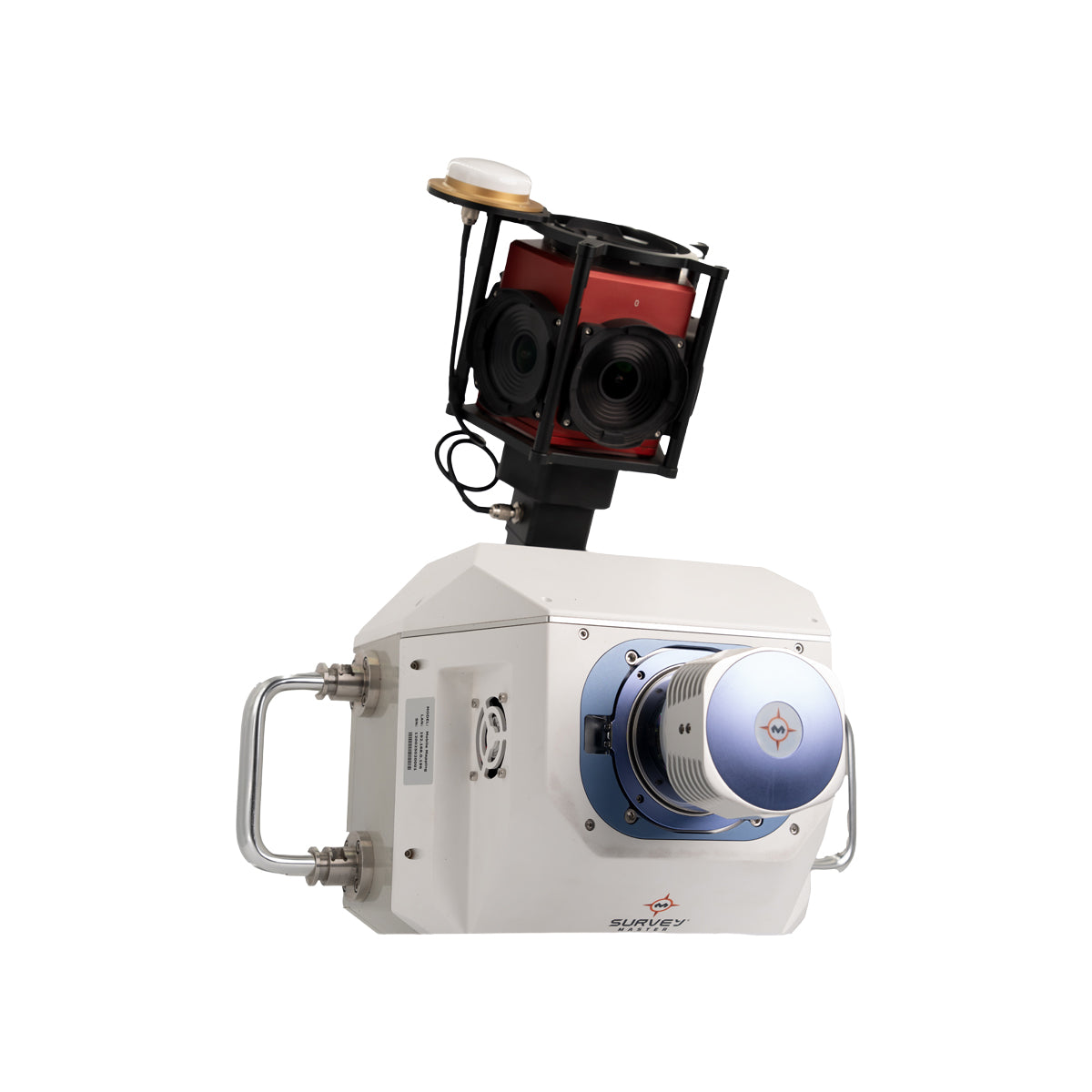
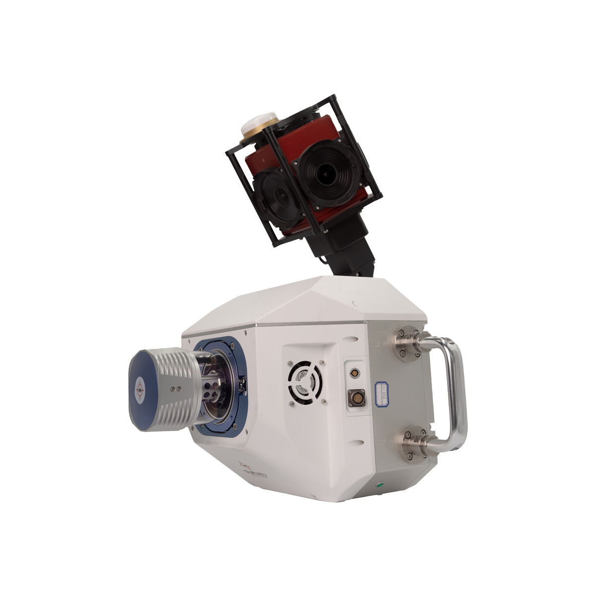
Eagle Eye 01 Vehicle-Mounted Mobile Scanning System
The Eagle Eye 01 from Survey Master is a mobile panoramic scanning and imaging system designed for digital scanning and 3D visual documentation directly from vehicles. It features an advanced lidar system with a scanning rate of up to 2 million points per second and a range of up to 1550 meters.
It features a built-in multi-lens panoramic camera capable of capturing 360° images with true 30-megapixel quality, enabling the production of realistic models based on the images, and their easy integration with LiDAR or GNSS data.
The device is developed for surveying and designing highways, engineering inspection of infrastructure, asset management, and documenting archaeological sites with rich color accuracy and full visual coverage.

Technical Details

2,000,000 points/second

Up to 1550 meters

360°

With 30 megapixel resolution

GNSS+INS system


R8+ Mobile Scanner
The R8+ device from OmniSLAM™ is a portable 3D scanning system, offering multi-platform use whether handheld, backpacked, or vehicle-mounted.
The R8+ is based on a 32-channel LiDAR laser module, providing a wide scanning range of up to 120 meters. It has a processing capacity of up to 640,000 dots/second, with a dot density of 250,000 dots/m², and a relative accuracy of up to ±1 mm in dynamic mode.
The device is equipped with two 360° panoramic cameras and advanced built-in technologies such as RTK-SLAM and LIO-PANO algorithms, and intelligent self-calibration during operation (SAOC), enabling it to provide a colorful point cloud and realistic 3D models ready for analysis or integration into BIM and GIS systems.

Technical Details
2 cm


640,000 points/second
Up to 120 meters

SONY CMOS 1“
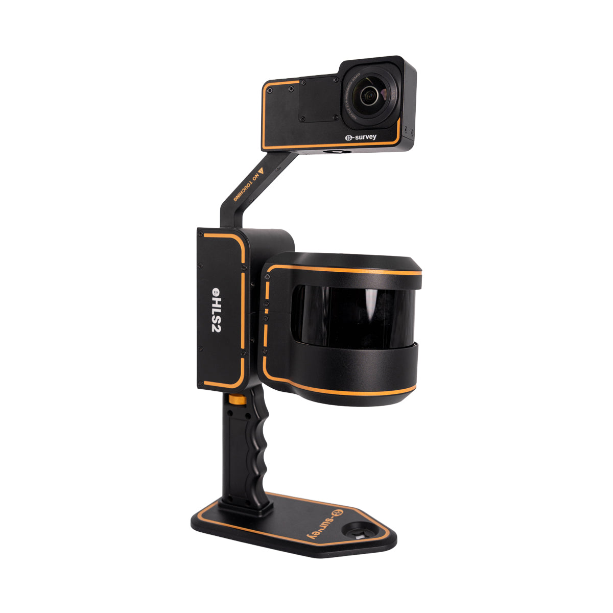
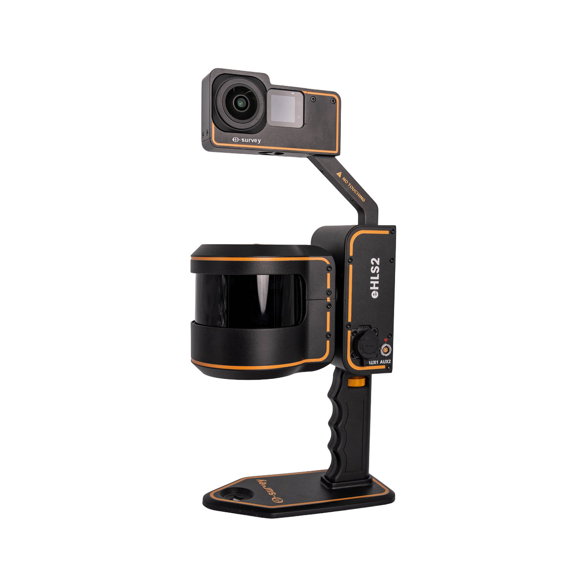
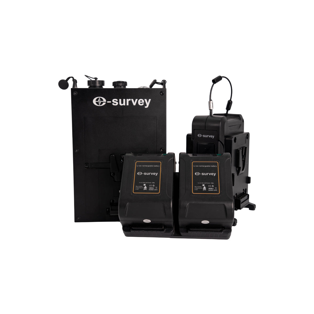
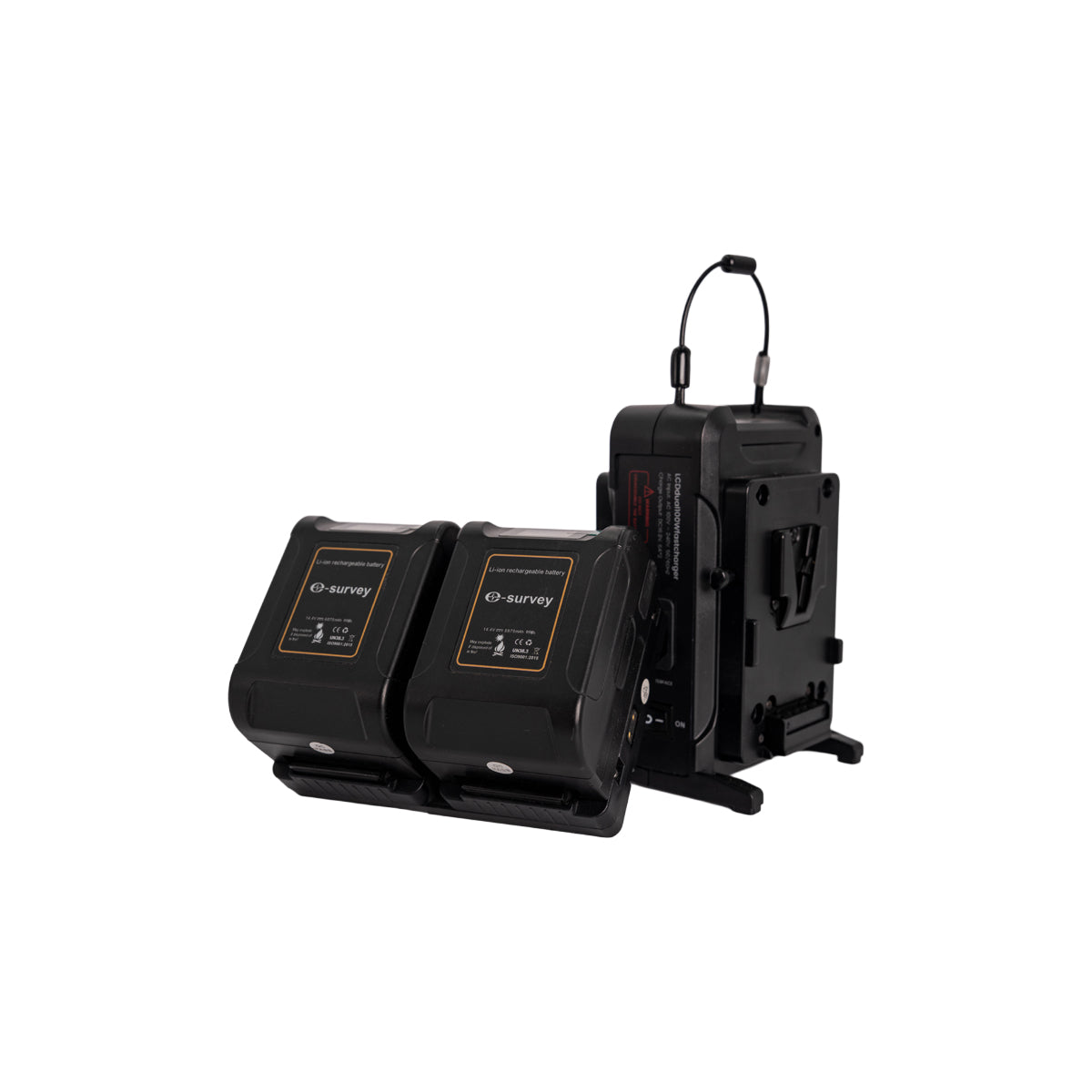


eHLS2 3D Scanner
Discover the next generation of 3D scanning with the eHLS2 from eSurvey — a handheld device that combines the power of laser scanning with precise positioning in one compact solution.

Technical Details

Instant positioning

Replaceable


6K colorscreen
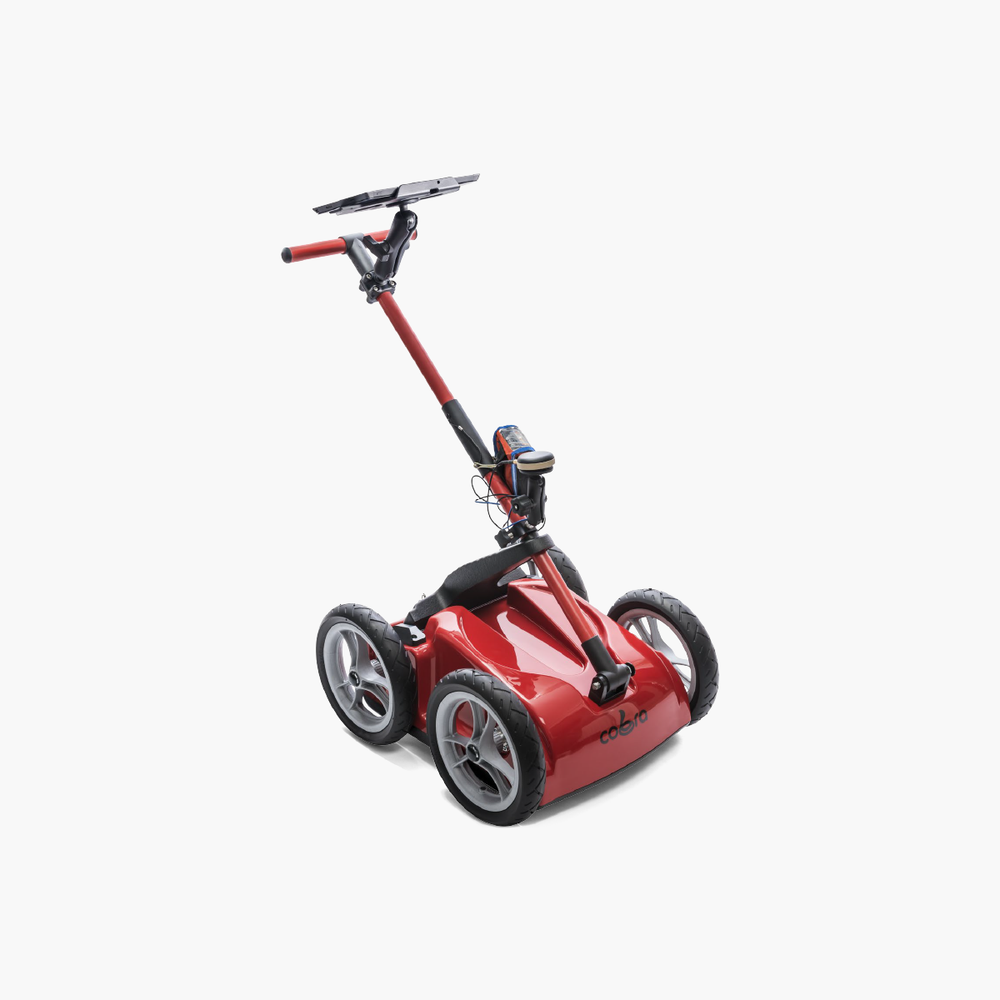

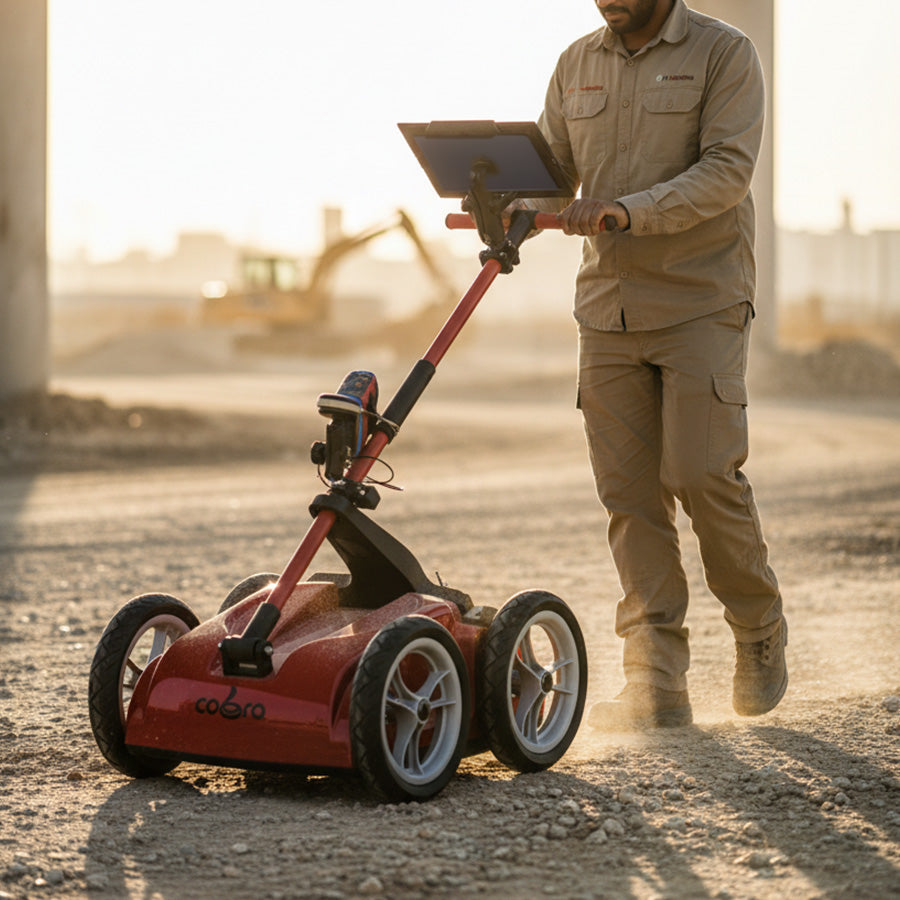


Cobra Wireless GPR Underground Scanner
The Cobra Wireless is a multi-frequency wireless GPR (Ground Penetrating Radar) system developed by the Swedish company Radarteam, specifically designed for subsurface scanning, utility detection, soil analysis, and archaeological and engineering studies.
The device features an exclusive, patented multi-frequency CDB antenna from the manufacturer, allowing for simultaneous tri-frequency scanning at 200, 400, and 800 MHz, for accurate detection of shallow and deep layers without switching antennas.
The Cobra device is fully wireless and lightweight, making it ideal for fieldwork without complexity or heavy equipment. It also easily integrates with GNSS systems to combine location data with radar data.

Technical Details


Dual Polarization
2500 samples/second

200, 400, and 800 MHz


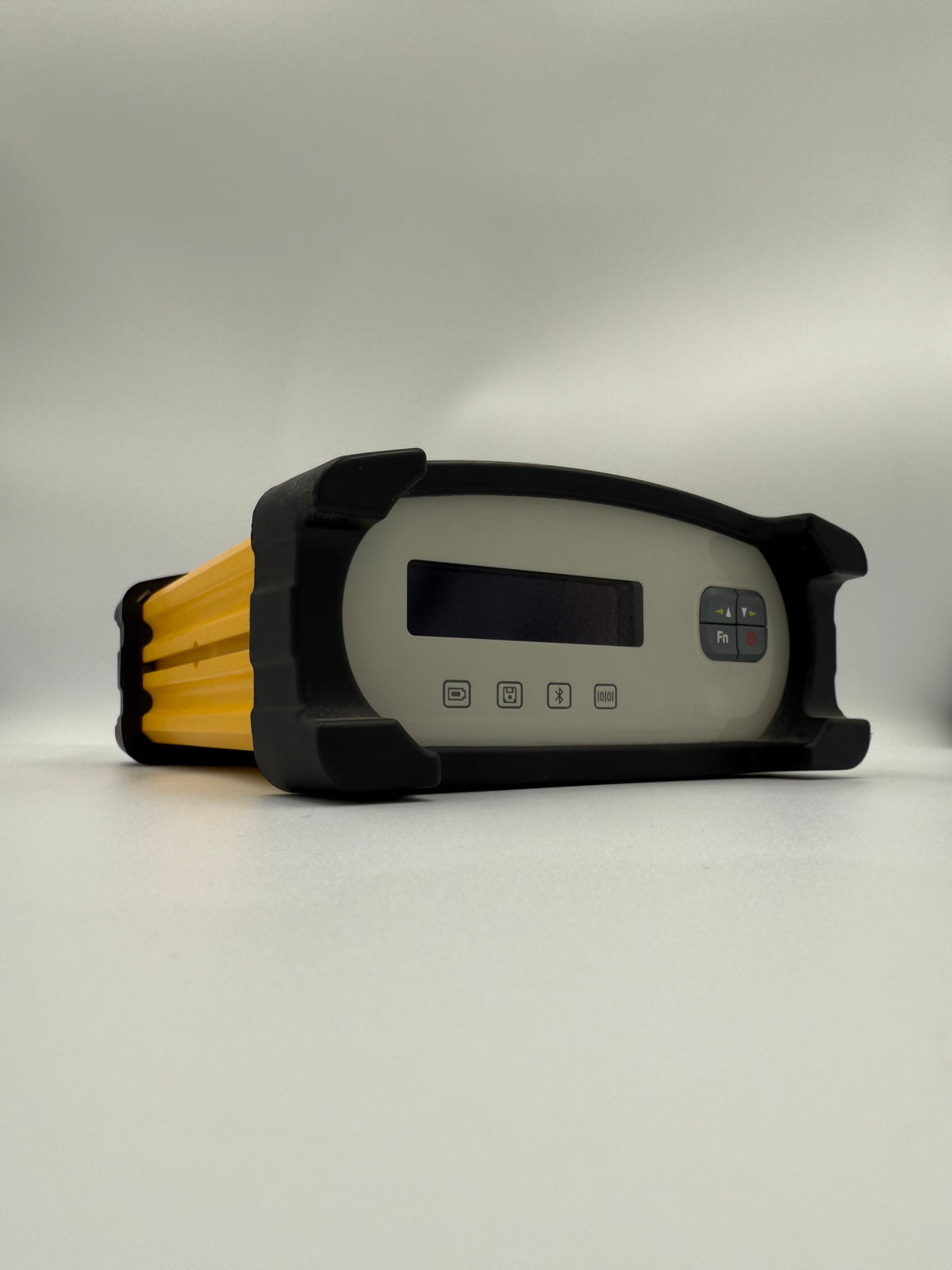


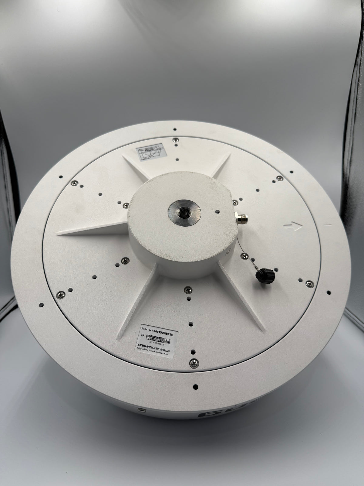
NET20 Plus CORS Station
The NET20 PLUS from e-Survey is a high-performance reference station receiver that combines performance and reliability to meet the demands of major projects. It offers a smart and stable solution for infrastructure tasks, monitoring, and automated control.
The device is designed to provide highly accurate and reliable real-time GNSS corrections around the clock. It features effective coverage up to 35 kilometers, a powerful 13600mAh internal battery, dozens of communication interfaces, and full support for all global GNSS systems.
The device supports automatic OTA online updates and offers remote control via a web interface that supports Arabic. It also provides flexible storage options including 32GB internal memory, TF card support, and automatic data upload via FTP.
Technical Details


eME30 3D Excavator Guidance System
The eME30 device from e-Survey is an intelligent solution for controlling equipment with high precision and efficiency, used for guiding excavators and reducing the time taken to complete tasks in infrastructure and large-scale construction projects.
The device relies on RTK GNSS technology to determine the real-time position of the bucket tip with 3D accuracy of ±3 cm, based on data from tilt sensors installed on the excavator arm.
The eME30 device features a smart safety system that reduces operating errors, such as the e-Fence electronic safety zone feature to minimize accidents and damage, and automatic alerts for any sensor malfunction or incorrect operation.
The device is equipped with user-friendly software running on Android, and supports many attachments such as tilt buckets, hydraulic cutters, and cylindrical cutters without the need for recalibration when switching between them.
Technical Details


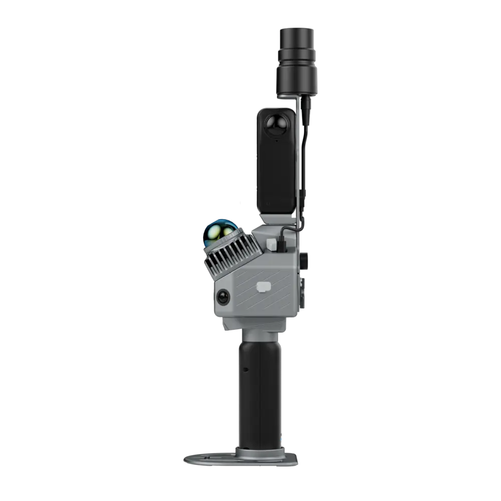


R8+ Mobile Scanner
The R8+ device from OmniSLAM™ is a portable 3D scanning system, offering multi-platform use whether handheld, backpacked, or vehicle-mounted.
The R8+ is based on a 32-channel LiDAR laser module, providing a wide scanning range of up to 120 meters. It has a processing capacity of up to 640,000 dots/second, with a dot density of 250,000 dots/m², and a relative accuracy of up to ±1 mm in dynamic mode.
The device is equipped with two 360° panoramic cameras and advanced built-in technologies such as RTK-SLAM and LIO-PANO algorithms, and intelligent self-calibration during operation (SAOC), enabling it to provide a colorful point cloud and realistic 3D models ready for analysis or integration into BIM and GIS systems.
Technical Details
2 cm
640,000 points/second
Up to 120 meters
SONY CMOS 1“


R8+ Mobile Scanner
The R8+ device from OmniSLAM™ is a portable 3D scanning system, offering multi-platform use whether handheld, backpacked, or vehicle-mounted.
The R8+ is based on a 32-channel LiDAR laser module, providing a wide scanning range of up to 120 meters. It has a processing capacity of up to 640,000 dots/second, with a dot density of 250,000 dots/m², and a relative accuracy of up to ±1 mm in dynamic mode.
The device is equipped with two 360° panoramic cameras and advanced built-in technologies such as RTK-SLAM and LIO-PANO algorithms, and intelligent self-calibration during operation (SAOC), enabling it to provide a colorful point cloud and realistic 3D models ready for analysis or integration into BIM and GIS systems.
Technical Details
2 cm
640,000 points/second
Up to 120 meters
SONY CMOS 1“
Practical Applications of High Solutions

Infrastructure and Civil Works Projects
Large projects such as roads, bridges and tunnels require high accuracy and speed of execution, which is what High Solution systems provide.
Technologies such as multi-frequency GPR and high-density LiDAR provide advanced capabilities for detecting underground facilities, analyzing structure, and modeling terrain without disrupting the site.

Government Projects and Digital Transformation
Government agencies rely on accurate data to inventory and manage assets, plan urban expansions, and implement smart cities.
High Solution systems provide high-resolution 3D scanning with direct compatibility with BIM and GIS systems, reducing processing time and improving the accuracy of urban planning and implementation.

Archaeological and Environmental Projects
Sensitive sites need non-intrusive data collection tools such as High Solution systems.
These systems are used to document archaeological sites, detect artifacts, analyze terrain, and accurately map complex environmental sites without excavation.
It is also used in rescue and disaster operations to provide accurate and safe information quickly.
Trust Us
Thousands of Leading Saudi Companies are Involved in Mega-Projects.


